After a noisy night that included a call to 911 to break up fight in the motel parking lot, I left for Apache Lake on the Salt River for a couple days camping with my sister Janet and her partner David. Show Low is up on top of the Mogollon Rim, a high sandstone and limestone escarpment that runs for 200 miles through Arizona. Elevations above the Rim are 7,000 feet and more, and there are broad pine forests. Below the rim, elevations are 4,000 feet or so, not and dry desert lands. In the eighty miles from ShowLow to Globe I dropped off the rim through the Salt River canyon into the northeast corner of the Sonoran Desert.
Globe, a mining town, some nice old buildings, not far from Lake Roosevelt, the first of the reservoirs on the Salt River.
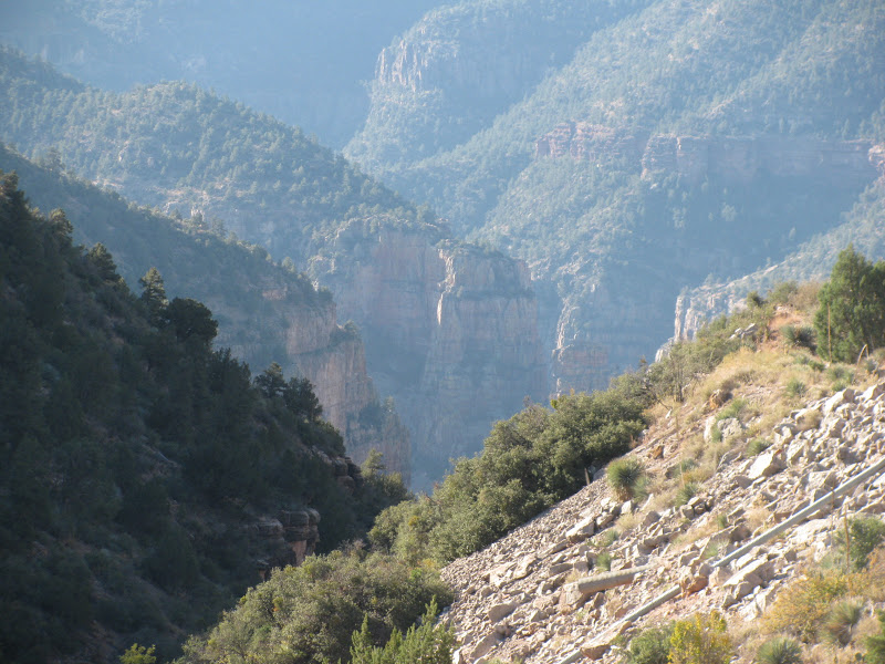
Along the reservoir before the dam, I drove up to Tonto National Monument, a rugged area of mountains, cactus, and thousand year old cliff dwellings.
The dam was the first federal reclamation project, begun in 1902, it took more than ten years to build. It required construction of a narrow road up the steep Salt River canyon. Much of the road work was done by Apache workers, hence the name the Apache Road. The dam was built with stone blocks laid one by one. In the 1970's,the dam was raised another seventy feet an encased in concrete, but the original stone dam remains at the core.
I drove the narrow,washboarded dirt road six miles past the dam to a campsite along the river and a couple days of camping.


No comments:
Post a Comment